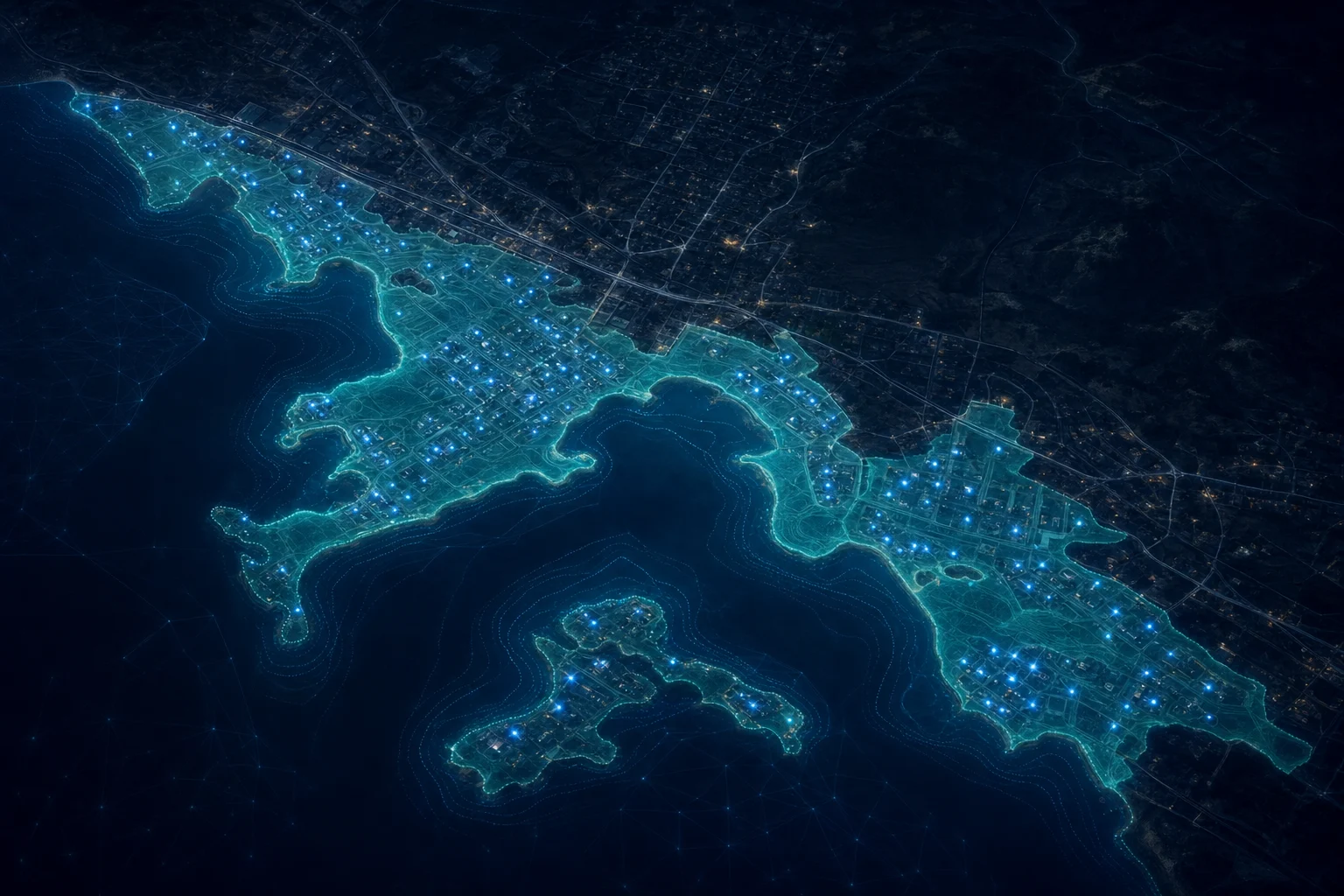
We deliver damage assessments from imagery and machine learning within 72 hours of an event, automated flood modeling from synthetic-aperture radar, and impact maps used in national leadership briefings. A national structures dataset built on this work is published for public reuse.
This story is from Bana’s Geospatial practice. See the practice